
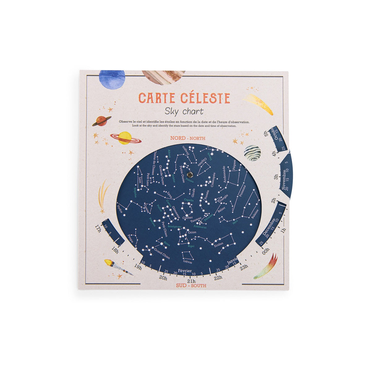
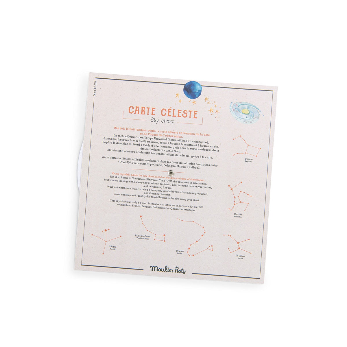
Carte Celeste Moulin Roty: Une fois la nute tombee, regle la carte celeste en fonction de la date et de l'heure de l'observation.
La carte celeste est en Temps Universel (heure utilisee en astronomie), donc si tu observes le ciel étoilé en hiver, retire 1 heure à ta montre et 2 heures en été. Repère la direction du Nord à l'aide d'une boussole, puis tient la carte au-dessus de ta tête en l'orientant vers le Nord. Maintenant, observe et identifie les constellations dans le ciel grace à ta carte.
NOTEZ BIEN: Cette carte du ciel est utilisable seulement dans les lieux de latitude entre 40-50 degree.
----
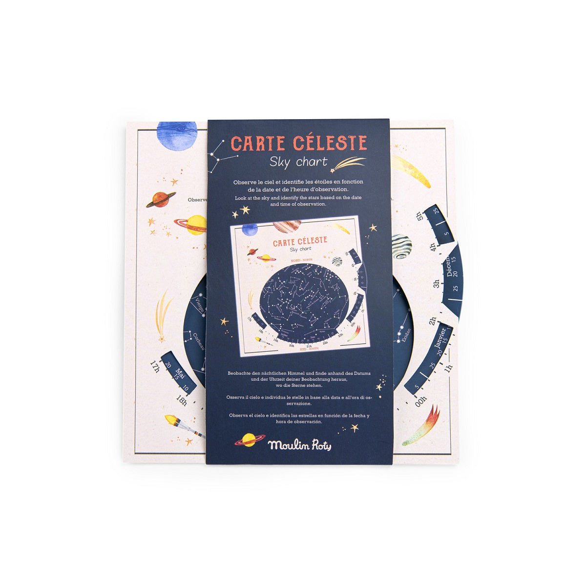
Learn all about the night sky with the Céleste map. Ships in cardboard displayer of 25 charts. How it works: Hold your map above your head, facing north, and observe the heavens! Budding astronomers can find out everything they need to know about constellations and stars!
NOTE: The Moulin Roty sky chart can only be used in locations at latitude of 40-50 degrees FOR CANADA, this means sky chart has best accuracy from British Columbia — Vancouver Island (passing through the town of Campbell River) and mainland, also through the Okanagan Valley immediately north of Kelowna and all of BC south of these points. Alberta — passing through the city of Medicine Hat and all of AB south of this point. Saskatchewan -- passing a few km south of the cities of Swift Current, Moose Jaw and the capital, Regina and all of SK south of these points. Manitoba — passing just north of Winnipeg and all of MB south of this point. Ontario — passing through Lake Nipigon and all of ONT south of this point. Quebec - passing through the town of Port-Cartier and all of QC south of this point. Maritimes – all points.
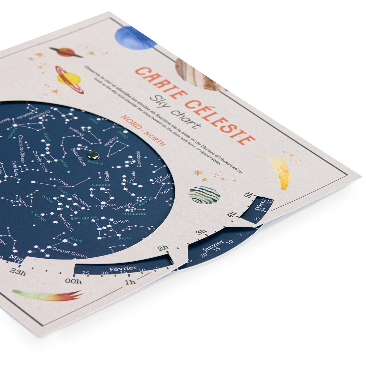
CHART measures approximately 20.5 x 20 cm. Safety rated for ages 6 +.